
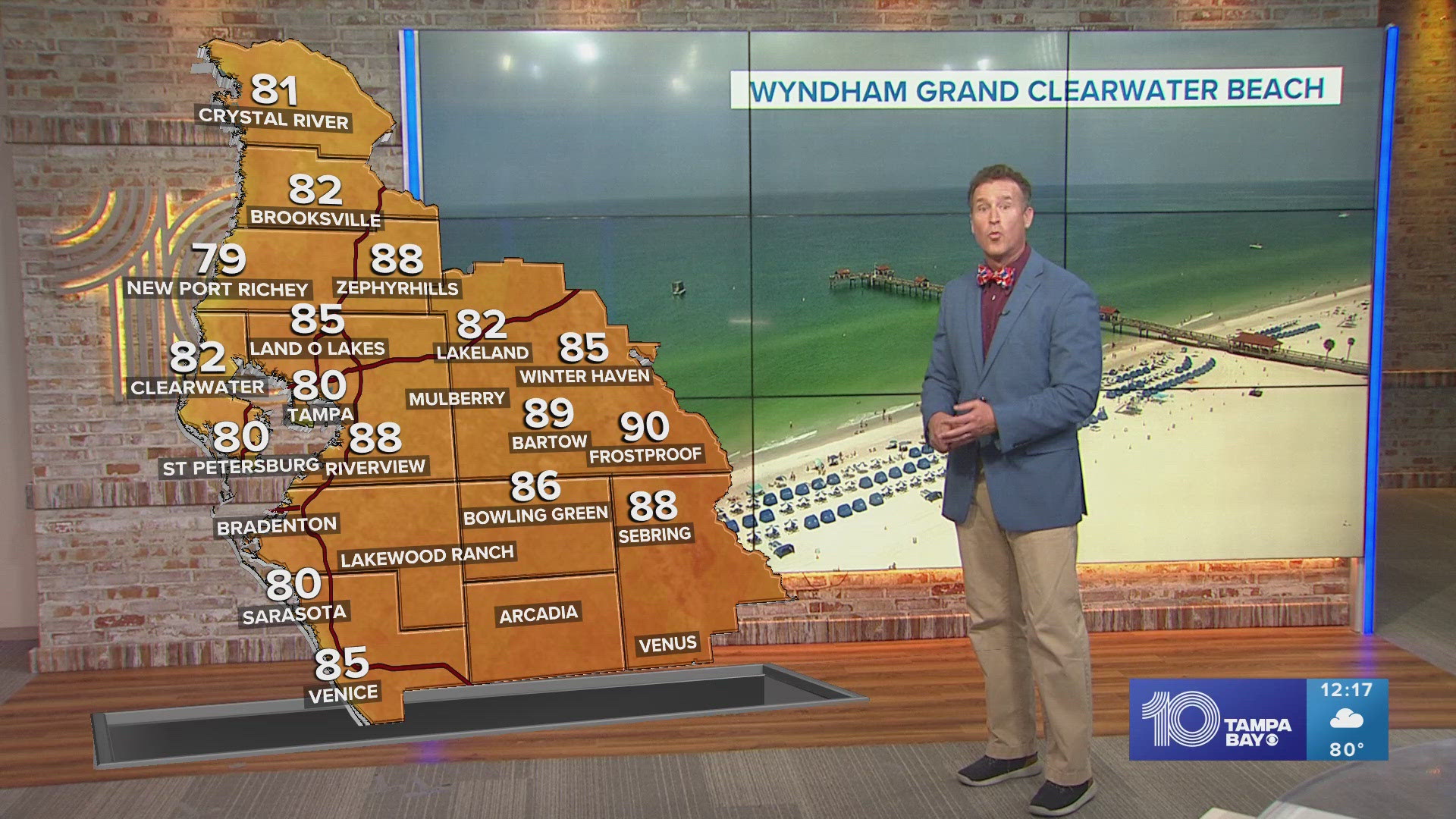
ST. PETERSBURG, Fla. — Our area of high pressure slides a little further into the western Atlantic while a little ripple of energy in the upper atmosphere sneaks in allowing for a few diurnally driven showers midweek.
Tuesday: The muggies return this morning with mild starts all across the bay. With more moisture and the energy up above, we have the ingredients to see a few showers, but not much relief from the heat, so make sure to stay hydrated! We make a run for the upper 80s by the afternoon with another chance for a few daytime-driven showers springing up. No severe weather is expected, only a brief hit-or-miss rinse, especially inland.
Wednesday: A few more hit-or-miss stray showers pop up for the early evening hours to help keep our temperatures a bit cooler. We stay in a very summertime-like pattern.
Thursday: With more energy added to the atmosphere we could hear a rumble of thunder or two. There is going to be more isolated showers returning.
10 Tampa Bay meteorologists on Facebook: Bobby Deskins, Natalie Ferrari, Amanda Pappas, Mike Prangley, Colleen Campbell
10 Tampa Bay meteorologists on X: Bobby Deskins, Natalie Ferrari, Amanda Pappas, Mike Prangley, Colleen Campbell